
NASA
Anatomy of a Space Shuttle
This 2001 illustration labels important parts of a space shuttle orbiter. The orbiter was the heart and brains of the space shuttle and served as the crew transport vehicle that carried astronauts to and from space. The space shuttle was comprised of the orbiter, the main engines, the external tank, and the solid rocket boosters. The space shuttle was the world’s first reusable spacecraft and the first spacecraft in history that could carry large satellites both to and from orbit.
Image credit: NASA
“Hubble at 35 Years” Symposium Explores Insights from Hubble’s Past
As Hubble marks three and a half decades of scientific breakthroughs and technical resilience, the “Hubble at 35 Years” symposium offers a platform to reflect on the mission’s historical, operational, and scientific legacy. Hubble’s trajectory—from early challenges to becoming a symbol of American scientific ingenuity—presents valuable lessons in innovation, collaboration, and crisis response. Bringing together scientists, engineers, and historians at NASA Headquarters ensures that this legacy informs current and future mission planning, including operations for the James Webb Space Telescope, Roman Space Telescope, and other next-generation observatories. The symposium not only honors Hubble’s transformative contributions but also reinforces NASA’s commitment to learning from the past to shape a more effective and ambitious future for space science.
Hubble at 35 YearsLessons Learned in Scientific Discovery and NASA Flagship Mission Operations
October 16–17, 2025
James Webb Auditorium, NASA HQ, Washington, D.C.
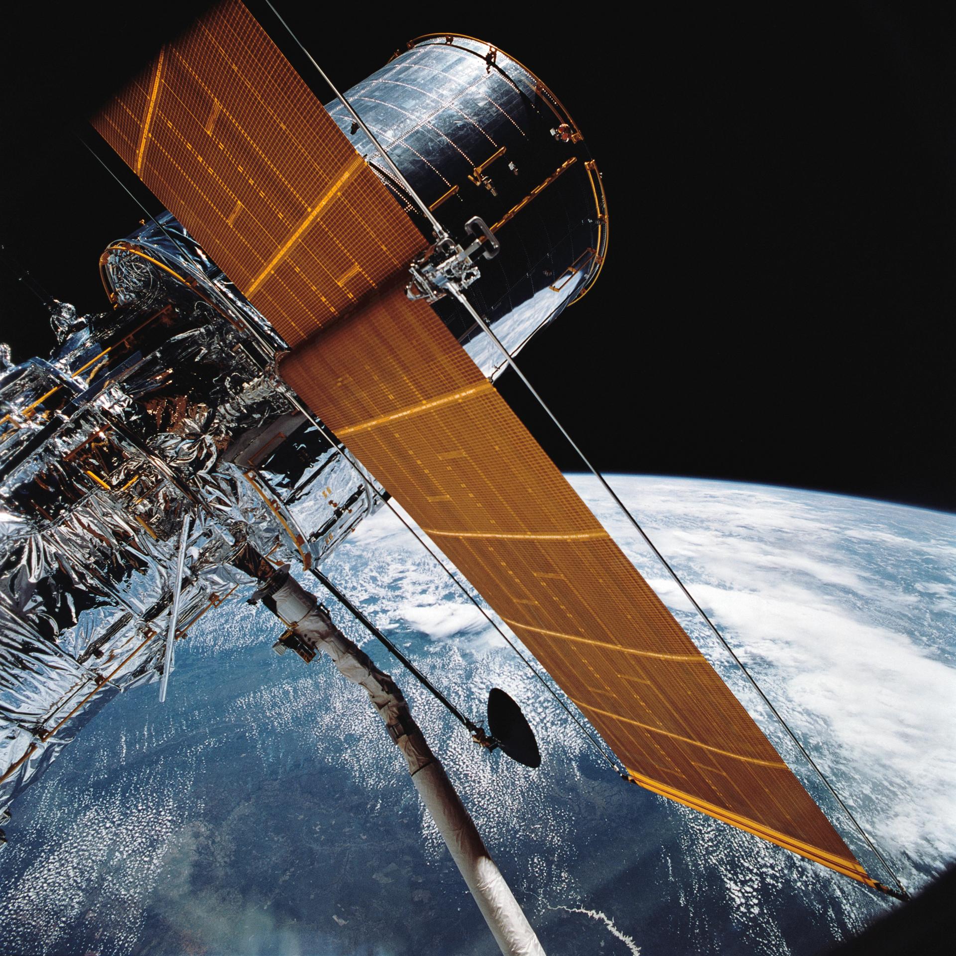
The story of the Hubble Space Telescope confirms its place as the most transformative and significant astronomical observatory in history. Once called “the eighth wonder of the world” by a former NASA administrator, Hubble’s development since its genesis in the early 1970s and its launch, repair, and ultimate impact since 1990 provide ample opportunity to apply insights from its legacy. Scientists and engineers associated with groundbreaking discoveries have always operated within contexts shaped by forces including the government, private industry, the military, and the public at large. The purpose of this symposium is to explore the insights from Hubble’s past and draw connections that can inform the development of mission work today and for the future.
Contact the Organizer Keep Exploring Discover More Topics From NASAHubble’s 35th Anniversary
Universe
Humans In Space
NASA History
“Hubble at 35 Years” Symposium Explores Insights from Hubble’s Past
As Hubble marks three and a half decades of scientific breakthroughs and technical resilience, the “Hubble at 35 Years” symposium offers a platform to reflect on the mission’s historical, operational, and scientific legacy. Hubble’s trajectory—from early challenges to becoming a symbol of American scientific ingenuity—presents valuable lessons in innovation, collaboration, and crisis response. Bringing together scientists, engineers, and historians at NASA Headquarters ensures that this legacy informs current and future mission planning, including operations for the James Webb Space Telescope, Roman Space Telescope, and other next-generation observatories. The symposium not only honors Hubble’s transformative contributions but also reinforces NASA’s commitment to learning from the past to shape a more effective and ambitious future for space science.
Hubble at 35 YearsLessons Learned in Scientific Discovery and NASA Flagship Mission Operations
October 16–17, 2025
James Webb Auditorium, NASA HQ, Washington, D.C.
The story of the Hubble Space Telescope confirms its place as the most transformative and significant astronomical observatory in history. Once called “the eighth wonder of the world” by a former NASA administrator, Hubble’s development since its genesis in the early 1970s and its launch, repair, and ultimate impact since 1990 provide ample opportunity to apply insights from its legacy. Scientists and engineers associated with groundbreaking discoveries have always operated within contexts shaped by forces including the government, private industry, the military, and the public at large. The purpose of this symposium is to explore the insights from Hubble’s past and draw connections that can inform the development of mission work today and for the future.
Contact the Organizer Keep Exploring Discover More Topics From NASAHubble’s 35th Anniversary
Universe
Humans In Space
NASA History
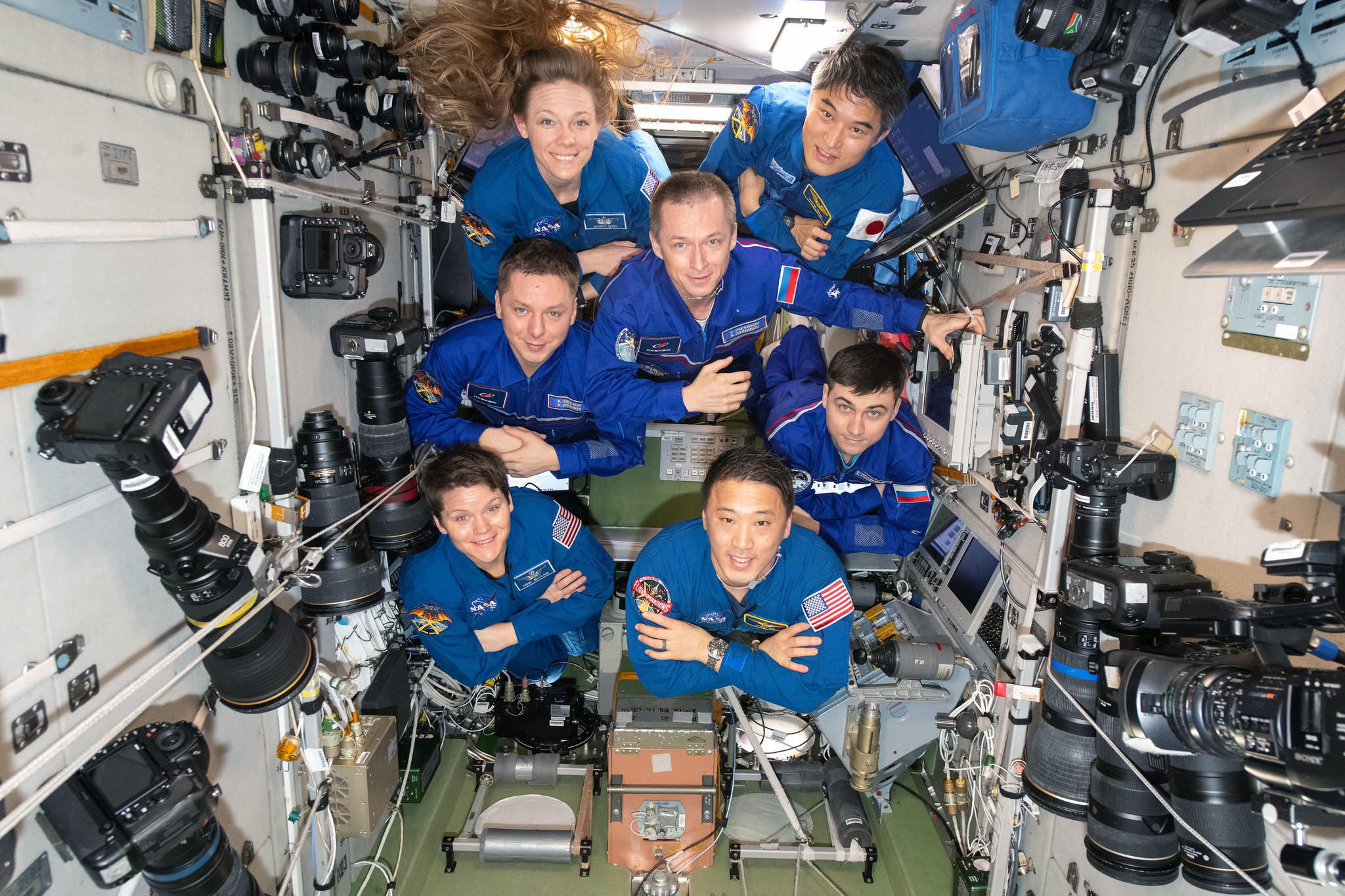
NASA, International Astronauts Answer Questions from Florida Students
Students in Big Pine Key, Florida, will have the chance to have NASA astronauts aboard the International Space Station answer their prerecorded questions.
At 10:05 a.m. EDT on Monday, July 14, NASA astronaut Nicole Ayers and JAXA (Japan Aerospace Exploration Agency) astronaut Takuya Onishi will answer questions submitted by students.
Watch the 20-minute Earth-to-space call on NASA STEM’s YouTube Channel.
The event is hosted by the Seacamp Association of Big Pine Key, Florida, which provides immersive science lessons for youth interested in discovering the sea. The event will be attended by local Monroe County students, as well as national and international campers ages 10-17 years old. The goal of the event is to help students make connections between astronauts training in space and scientists working in the sea.
Media interested in covering the event must RSVP by 5 p.m. EDT, Friday, July 11, to Judy Gregoire at: 305-872-2331 or email at: info@seacamp.org.
For nearly 25 years, astronauts have continuously lived and worked aboard the space station, testing technologies, performing science, and developing skills needed to explore farther from Earth. Astronauts aboard the orbiting laboratory communicate with NASA’s Mission Control Center in Houston 24 hours a day through SCaN’s (Space Communications and Navigation) Near Space Network.
Important research and technology investigations taking place aboard the space station benefit people on Earth and lay the groundwork for other agency missions. As part of NASA’s Artemis campaign, the agency will send astronauts to the Moon to prepare for future human exploration of Mars; inspiring Golden Age explorers and ensuring the United States continues to lead in space exploration and discovery.
See videos of astronauts aboard the space station at:
https://www.nasa.gov/stemonstation
-end-
Gerelle Dodson
Headquarters, Washington
202-358-1600
gerelle.q.dodson@nasa.gov
Sandra Jones
Johnson Space Center, Houston
281-483-5111
sandra.p.jones@nasa.gov
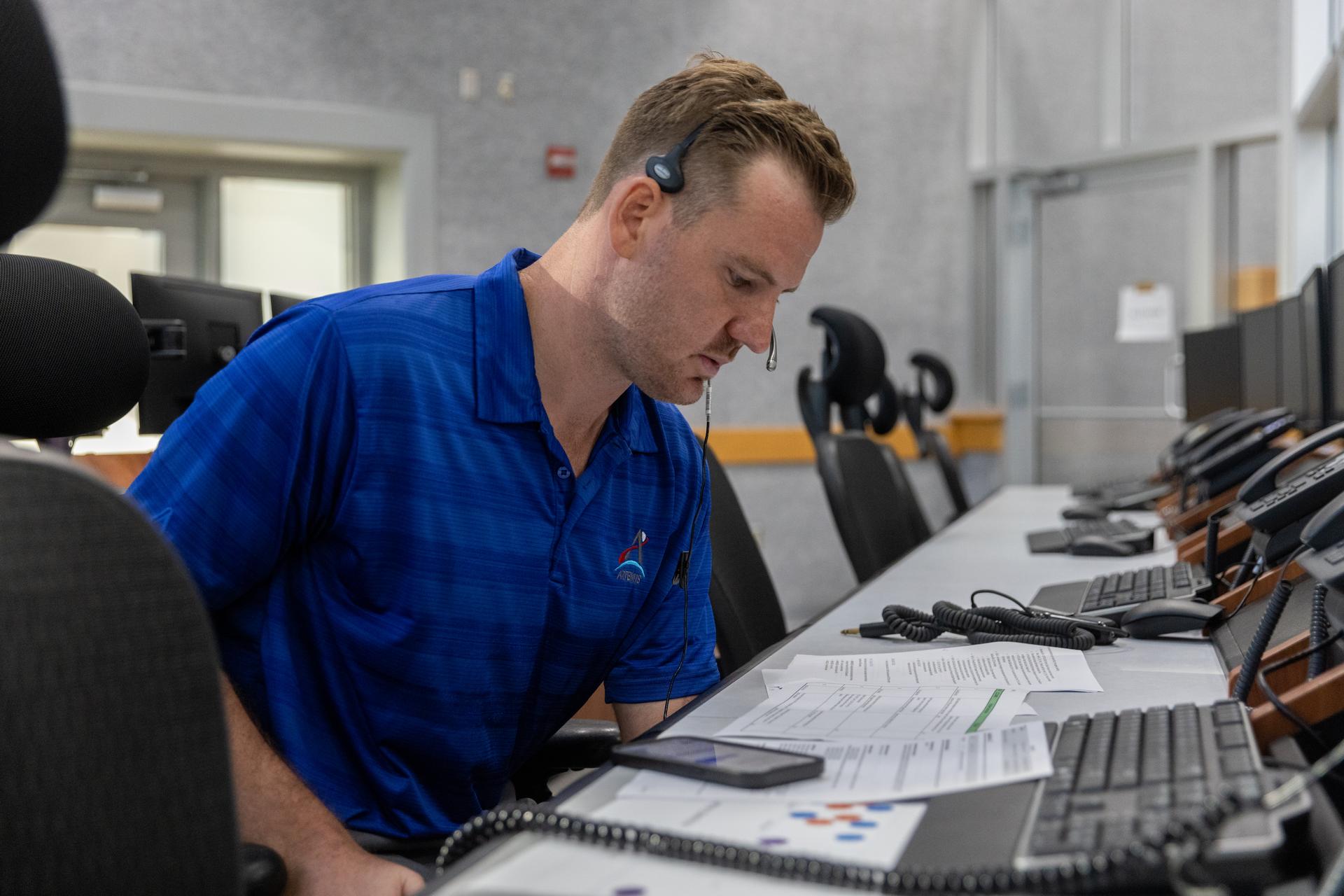
I Am Artemis: Joe Pavicic
Listen to this audio excerpt from Joe Pavicic, Artemis operations project engineer
0:00 / 0:00
Your browser does not support the audio element.Joe Pavicic will never forget when he told the Artemis launch director teams were NO-GO for launch.
Before Artemis I lifted off from NASA’s Kennedy Space Center in Florida in November 2022, the launch team made multiple launch attempts the months prior.
“During a previous Artemis I launch attempt, there was an issue with engine three,” said Pavicic, operations project engineer who worked on the engines console during Artemis I. “One sensor was showing that it wasn’t seeing liquid hydrogen through it. It was showing that it was at ambient temperature.”
And I had to tell the launch director, ‘We can't get there today with the current criteria that we have. My recommendation is a NO-GO.’Joe pavicic
Operations Project Engineer
Prior to engine ignition, launch team controllers must first chill the engines before the cryogenic liquid propellant fuels and lifts the SLS (Space Launch System) rocket and Orion spacecraft into the heavens and onward to the Moon. Chilling the engines ensures the hardware doesn’t get damaged when exposed to the super-cooled liquid hydrogen at -423 degrees Fahrenheit.
NASA/Kim Shiflett“We tried everything we could think of,” Pavicic recalls. “Any procedure we could try, we tried it, and we just never saw those rates that we should have.”
Thus, Pavicic, who is originally from West Palm Beach and studied aerospace engineering at Embry Riddle Aeronautical University in Daytona Beach, Florida, went back to the drawing board with the rest of his team, working days and nights rewriting procedures and learning new lessons about the engines and sensors until they were finally able to get to a successful launch.
“I just remember after I said, 'NO-GO,' I felt like all these people came to watch the launch, all my family, and I'm like, ‘I'm the guy,' but I told myself, ‘I'm not going to be the one to say this for the next launch attempt. I'm going to do what I can to get us there.’joe pavicic
Operations Project Engineer
NASA successfully launched and flew the Artemis I mission and now, Pavicic is working as one of the operations project engineers, continuing to help the launch team develop new launch commit criteria and procedures within the launch countdown ahead of Artemis II, the first crewed Artemis mission, which will send four astronauts around the Moon and back in 10 days next year.
About the AuthorAntonia Jaramillo Share Details Last Updated Jul 09, 2025 Related Terms Explore More 3 min read Aaisha Ali: From Marine Biology to the Artemis Control Room Article 3 days ago 2 min read NASA Announces Winners of 2025 Human Lander Challenge Article 2 weeks ago 4 min read I Am Artemis: Patrick Junen Article 2 weeks ago Keep Exploring Discover More Topics From NASAMissions
Humans in Space
Climate Change
Solar System
I Am Artemis: Joe Pavicic
Listen to this audio excerpt from Joe Pavicic, Artemis operations project engineer
0:00 / 0:00
Your browser does not support the audio element.Joe Pavicic will never forget when he told the Artemis launch director teams were NO-GO for launch.
Before Artemis I lifted off from NASA’s Kennedy Space Center in Florida in November 2022, the launch team made multiple launch attempts the months prior.
“During a previous Artemis I launch attempt, there was an issue with engine three,” said Pavicic, operations project engineer who worked on the engines console during Artemis I. “One sensor was showing that it wasn’t seeing liquid hydrogen through it. It was showing that it was at ambient temperature.”
And I had to tell the launch director, ‘We can't get there today with the current criteria that we have. My recommendation is a NO-GO.’Joe pavicic
Operations Project Engineer
Prior to engine ignition, launch team controllers must first chill the engines before the cryogenic liquid propellant fuels and lifts the SLS (Space Launch System) rocket and Orion spacecraft into the heavens and onward to the Moon. Chilling the engines ensures the hardware doesn’t get damaged when exposed to the super-cooled liquid hydrogen at -423 degrees Fahrenheit.
NASA/Kim Shiflett“We tried everything we could think of,” Pavicic recalls. “Any procedure we could try, we tried it, and we just never saw those rates that we should have.”
Thus, Pavicic, who is originally from West Palm Beach and studied aerospace engineering at Embry Riddle Aeronautical University in Daytona Beach, Florida, went back to the drawing board with the rest of his team, working days and nights rewriting procedures and learning new lessons about the engines and sensors until they were finally able to get to a successful launch.
“I just remember after I said, 'NO-GO,' I felt like all these people came to watch the launch, all my family, and I'm like, ‘I'm the guy,' but I told myself, ‘I'm not going to be the one to say this for the next launch attempt. I'm going to do what I can to get us there.’joe pavicic
Operations Project Engineer
NASA successfully launched and flew the Artemis I mission and now, Pavicic is working as one of the operations project engineers, continuing to help the launch team develop new launch commit criteria and procedures within the launch countdown ahead of Artemis II, the first crewed Artemis mission, which will send four astronauts around the Moon and back in 10 days next year.
About the AuthorAntonia Jaramillo Share Details Last Updated Jul 09, 2025 Related Terms Explore More 3 min read Aaisha Ali: From Marine Biology to the Artemis Control Room Article 2 days ago 2 min read NASA Announces Winners of 2025 Human Lander Challenge Article 2 weeks ago 4 min read I Am Artemis: Patrick Junen Article 2 weeks ago Keep Exploring Discover More Topics From NASAMissions
Humans in Space
Climate Change
Solar System
Polar Tourists Give Positive Reviews to NASA Citizen Science in Antarctica
2 min read
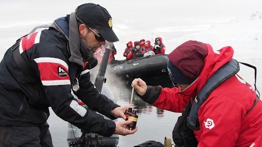
Polar Tourists Give Positive Reviews to NASA Citizen Science in AntarcticaCitizen science projects result in an overwhelmingly positive impact on the polar tourism experience. That’s according to a new paper analyzing participant experiences in the first two years of FjordPhyto, a NASA Citizen Science project..
The FjordPhyto citizen science project invites travelers onboard expedition cruise vessels to gather data and samples during the polar summer season, helping researchers understand changes in microalgae communities in response to melting glaciers. Travelers in Antarctica from November to March help collect phytoplankton and ocean data from polar regions facilitated by trained expedition guides.
The new research found that ninety-seven percent of respondents reported that participating in citizen science enriched their travel experience. The paper provides a first understanding of the impact of citizen science projects on the tourism experience.
“I was worried that I would feel guilty being a tourist in a place as remote and untouched as Antarctica,” said one anonymous FjordPhyto participant. “But being able to learn and be a part of citizen science, whilst constantly being reminded of our environmental responsibilities, made me feel less like just a visitor and more a part of keeping the science culture that Antarctica is known for alive and well.”
For more information and to sign up, visit the FjordPhyto website.
Travelers in Antarctica participate in collecting phytoplankton and ocean data from polar regions facilitated by trained expedition guides. Credit: Mathew Farrell courtesy of Robert Gilmore Share Details Last Updated Jul 09, 2025 Related Terms Explore More 2 min read NASA Citizen Scientists Find New Eclipsing Binary StarsArticle
2 weeks ago
2 min read Live or Fly a Plane in California? Help NASA Measure Ozone Pollution!
Article
2 weeks ago
5 min read NASA Launching Rockets Into Radio-Disrupting Clouds
Article
4 weeks ago
Polar Tourists Give Positive Reviews to NASA Citizen Science in Antarctica
2 min read
Polar Tourists Give Positive Reviews to NASA Citizen Science in AntarcticaCitizen science projects result in an overwhelmingly positive impact on the polar tourism experience. That’s according to a new paper analyzing participant experiences in the first two years of FjordPhyto, a NASA Citizen Science project..
The FjordPhyto citizen science project invites travelers onboard expedition cruise vessels to gather data and samples during the polar summer season, helping researchers understand changes in microalgae communities in response to melting glaciers. Travelers in Antarctica from November to March help collect phytoplankton and ocean data from polar regions facilitated by trained expedition guides.
The new research found that ninety-seven percent of respondents reported that participating in citizen science enriched their travel experience. The paper provides a first understanding of the impact of citizen science projects on the tourism experience.
“I was worried that I would feel guilty being a tourist in a place as remote and untouched as Antarctica,” said one anonymous FjordPhyto participant. “But being able to learn and be a part of citizen science, whilst constantly being reminded of our environmental responsibilities, made me feel less like just a visitor and more a part of keeping the science culture that Antarctica is known for alive and well.”
For more information and to sign up, visit the FjordPhyto website.
Travelers in Antarctica participate in collecting phytoplankton and ocean data from polar regions facilitated by trained expedition guides. Credit: Mathew Farrell courtesy of Robert Gilmore Share Details Last Updated Jul 09, 2025 Related Terms Explore More 2 min read NASA Citizen Scientists Find New Eclipsing Binary StarsArticle
2 weeks ago
2 min read Live or Fly a Plane in California? Help NASA Measure Ozone Pollution!
Article
2 weeks ago
5 min read NASA Launching Rockets Into Radio-Disrupting Clouds
Article
4 weeks ago
Continuing the Quest for Clays
- Perseverance Home
- Science
- News and Features
- Multimedia
- Mars Missions
- Mars Home
3 min read
Continuing the Quest for Clays NASA’s Mars Perseverance rover acquired this image showing the target “Jigging Cove,” named by Make-A-Wish participant Madeline, located in the center of the image. Perseverance used its Left Mastcam-Z camera, one of a pair of cameras located high on the rover’s mast, to capture the image on June 27, 2025 (Sol 1547, or Martian day 1,547 of the Mars 2020 mission) at the local mean solar time of 11:26:04. NASA/JPL-Caltech/ASUWritten by Eleanor Moreland, Ph.D. Student Collaborator at Rice University
For the past month and a half, Perseverance has been exploring the Krokodillen plateau in search of clay-bearing rocks. An earlier blog discussed that these rocks could hold clues to Mars’ watery past, and Perseverance has been exploring multiple potential locations to find a suitable target to sample. When a coring target could not be found at the previous outcrop, the Science Team decided to return to the “Main Topsail” locality. In a single drive to this area, Perseverance drove 411.7 meters (1,350.7 feet, or just over a quarter mile) — the longest driving distance ever accomplished by a robotic vehicle on another planet. Go, Percy, go!
Back in the region near “Main Topsail” and “Salmon Point,” the team attempted to abrade and sample the clay-bearing rocks at a few different targets. These rocks, however, are proving very breakable and difficult to sample and abrade. Perseverance has experienced challenging fine-grained rocks before, such as during the fan front campaign inside Jezero crater. In that scenario and this one, the Science and Engineering teams work together diligently to find the highest priority targets and find rocks that could withstand the abrasion and coring processes. In this case, the team has decided to return to the site of a previous abrasion, “Strong Island,” to sample the rock we have already abraded and analyzed. This abrasion showed the strong clay signature the team is looking to sample, and we will make another coring attempt this week.
NASA’s Mars Perseverance rover acquired this image of the target “Gallants,” named by Make-A-Wish participant Joshua, located in the lower left quadrant of the image. Perseverance used its onboard Left Navigation Camera (Navcam), which is located high on the rover’s mast and aids in driving, to capture the image on July 1, 2025 (Sol 1551 or Martian day 1,551 of the Mars 2020 mission), at the local mean solar time of 13:10:08. NASA/JPL-CaltechThis past week, the Perseverance team hosted two very special visitors, Madeline and Joshua, and had the unique honor of fulfilling their wishes through the Make-A-Wish foundation. During their visits to JPL, Madeline and Joshua were named honorary Mars 2020 Operations Team Members. They visited the test rovers in the JPL Mars Yard, watched data arrive from the rover with the Perseverance operations team, and attended a rover planning meeting, collaborating with the science and engineering team members on campus. Madeline and Joshua will forever be connected to the Mars 2020 mission, as each selected the name of one of our planning targets. Madeline’s target, “Jigging Cove,” was a target for Mastcam-Z and SuperCam “all techniques” analysis, including LIBS, VISIR, and RMI. Joshua’s selection, “Gallants,” will be used for the next coring target. Carrying forward the resilience shown by Madeline and Joshua, Perseverance will attempt to sample this clay-rich bedrock before continuing the investigation along the Jezero crater rim.
Share Details Last Updated Jul 08, 2025 Related Terms Explore More 2 min read Curiosity Blog, Sols 4589 – 4592: Setting up to explore Volcán Peña BlancaArticle
21 hours ago
2 min read Curiosity Blog, Sol 4588: Ridges and troughs
Article
22 hours ago
2 min read Curiosity Blog, Sols 4586-4587: Straight Drive, Strategic Science
Article
7 days ago
Keep Exploring Discover More Topics From NASA Mars
Mars is the fourth planet from the Sun, and the seventh largest. It’s the only planet we know of inhabited…
All Mars Resources
Explore this collection of Mars images, videos, resources, PDFs, and toolkits. Discover valuable content designed to inform, educate, and inspire,…
Rover Basics
Each robotic explorer sent to the Red Planet has its own unique capabilities driven by science. Many attributes of a…
Mars Exploration: Science Goals
The key to understanding the past, present or future potential for life on Mars can be found in NASA’s four…
Helio Highlights: May 2025
- Home
- Framework for Heliophysics Education
- Resource Database
- About NASA HEAT
- More
3 min read
Helio Highlights: May 2025 3 Min Read Helio Highlights: May 2025 A satellite image showing the extent of the Northern Lights during part of the Mother’s Day 2024 solar storms. Credits:NOAA One year ago, solar storms lit up the night sky. Why?
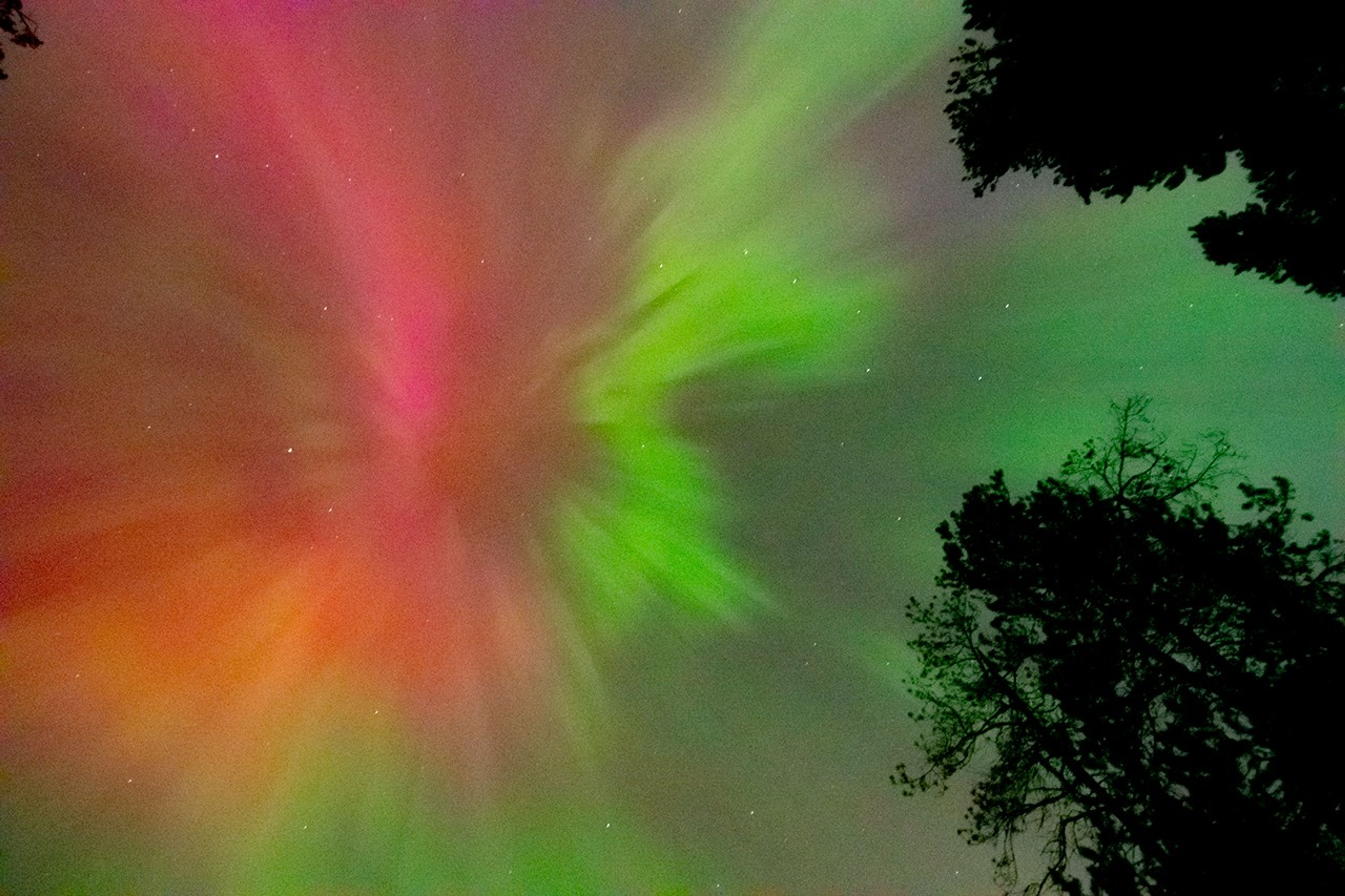
The Sun is 93 million miles away from Earth, on average. Even though it’s far away, we can still see and feel its effects here. One of the most beautiful effects are the auroras – colorful lights that dance across the sky near the North and South Poles. These are also called the Northern and Southern Lights. They happen when tiny particles from the Sun hit gas molecules in our atmosphere and give off energy.
Sometimes the Sun becomes very active and sends out a lot more energy than normal. When this happens, we can see auroras in places much farther from the poles than normal. In May 2024, around Mother’s Day, the Sun sent powerful solar storms in the direction of Earth. These storms were also called the Gannon Storms, named after Jennifer Gannon, a scientist who studied space weather. The Northern Lights could be seen as far south as Puerto Rico, Hawaii, Mexico, Jamaica, and the Bahamas. The Southern Lights were also visible as far north as South Africa and New Zealand.
Aurora Borealis seen from British Columbia, Canada on May 10, 2024. NASA/Mara Johnson-GrohScientists who study the Sun and its effects on our solar system work in a field called heliophysics. Their studies of the Sun have shown that it goes through cycles of being more active and less active. Each one of these cycles lasts about 11 years, but can be anywhere from 8 to 14 years long. This is called the Solar Cycle.
The middle of each cycle is called Solar Maximum. During this time, the Sun has more dark spots (called sunspots) and creates more space weather events. The big storms in May 2024 happened during the Solar Maximum for Solar Cycle 25.
On May 8 and 9, 2024, an active area on the Sun called AR3664 shot out powerful solar flares and several huge bursts of energy called coronal mass ejections (CMEs). These CMEs headed straight for Earth. The first CME pushed aside the normal solar wind, making a clear path for the others to reach us faster. When all this energy hit our atmosphere, it created auroras much farther from the poles than usual. It was like the Sun gave the auroras a huge power boost!
Eruptions of Solar material into space as seen on May 7 (right) and May 8 (left), 2024. These types of eruptions often come just before a larger Coronal Mass Ejection (CME), including the ones which caused the Mother’s Day solar storms. NASA/SDOAuroras are beautiful to watch, but the space weather that creates them can also cause problems. Space weather can mess up radio signals, power grids, GPS systems, and satellites. During the May 2024 storms, GPS systems used by farmers were disrupted. Many farmers use GPS to guide their self-driving tractors. Since this happened during peak planting season, it may have cost billions of dollars in lost profit.
Because space weather can cause so many problems, scientists at NASA and around the world watch the Sun closely to predict when these events will happen. You can help too! Join local science projects at schools, teach others about the Sun, and help make observations in your area. All of this helps us to learn more about the Sun and how it affects our planet.
Here are some resources to connect you to the Sun and auroras Lesson Plans & Educator Guides Magnetic Mysteries: Sun-Earth InteractionsA 5E lesson for high school students to investigate the question of what causes aurora by using Helioviewer to examine solar activity.
Aurora Research and Heliophysics
Learn about aurora, how they form, and the different phases they go through, as well as heliophysics missions that study them.
How Earth’s Magnetic Field Causes Auroras
A 5E middle school lesson where students explore why our planet has a magnetic field (and other planets don’t) and what it is like.
Interactive Resources Magnetic Earth
Introductory activity where users learn about the magnetic field that surrounds Earth and its role in creating the Northern Lights.
NOAA Aurora
30-Minute Forecast
An interactive aurora map for both hemispheres which allows users to predict the likelihood of auroras at different latitudes.
Webinars and Slide Decks Space Weather
Basics
A slide deck (41 slides) that offers an elementary introduction to the basic features of space weather and its interactions with Earth’s magnetosphere and various technologies.
Helio Highlights: May 2025
- Home
- Framework for Heliophysics Education
- Resource Database
- About NASA HEAT
- More
3 min read
Helio Highlights: May 2025 3 Min Read Helio Highlights: May 2025 A satellite image showing the extent of the Northern Lights during part of the Mother’s Day 2024 solar storms. Credits:NOAA One year ago, solar storms lit up the night sky. Why?
The Sun is 93 million miles away from Earth, on average. Even though it’s far away, we can still see and feel its effects here. One of the most beautiful effects are the auroras – colorful lights that dance across the sky near the North and South Poles. These are also called the Northern and Southern Lights. They happen when tiny particles from the Sun hit gas molecules in our atmosphere and give off energy.
Sometimes the Sun becomes very active and sends out a lot more energy than normal. When this happens, we can see auroras in places much farther from the poles than normal. In May 2024, around Mother’s Day, the Sun sent powerful solar storms in the direction of Earth. These storms were also called the Gannon Storms, named after Jennifer Gannon, a scientist who studied space weather. The Northern Lights could be seen as far south as Puerto Rico, Hawaii, Mexico, Jamaica, and the Bahamas. The Southern Lights were also visible as far north as South Africa and New Zealand.
Aurora Borealis seen from British Columbia, Canada on May 10, 2024. NASA/Mara Johnson-GrohScientists who study the Sun and its effects on our solar system work in a field called heliophysics. Their studies of the Sun have shown that it goes through cycles of being more active and less active. Each one of these cycles lasts about 11 years, but can be anywhere from 8 to 14 years long. This is called the Solar Cycle.
The middle of each cycle is called Solar Maximum. During this time, the Sun has more dark spots (called sunspots) and creates more space weather events. The big storms in May 2024 happened during the Solar Maximum for Solar Cycle 25.
On May 8 and 9, 2024, an active area on the Sun called AR3664 shot out powerful solar flares and several huge bursts of energy called coronal mass ejections (CMEs). These CMEs headed straight for Earth. The first CME pushed aside the normal solar wind, making a clear path for the others to reach us faster. When all this energy hit our atmosphere, it created auroras much farther from the poles than usual. It was like the Sun gave the auroras a huge power boost!
Eruptions of Solar material into space as seen on May 7 (right) and May 8 (left), 2024. These types of eruptions often come just before a larger Coronal Mass Ejection (CME), including the ones which caused the Mother’s Day solar storms. NASA/SDOAuroras are beautiful to watch, but the space weather that creates them can also cause problems. Space weather can mess up radio signals, power grids, GPS systems, and satellites. During the May 2024 storms, GPS systems used by farmers were disrupted. Many farmers use GPS to guide their self-driving tractors. Since this happened during peak planting season, it may have cost billions of dollars in lost profit.
Because space weather can cause so many problems, scientists at NASA and around the world watch the Sun closely to predict when these events will happen. You can help too! Join local science projects at schools, teach others about the Sun, and help make observations in your area. All of this helps us to learn more about the Sun and how it affects our planet.
Here are some resources to connect you to the Sun and auroras Lesson Plans & Educator Guides Magnetic Mysteries: Sun-Earth InteractionsA 5E lesson for high school students to investigate the question of what causes aurora by using Helioviewer to examine solar activity.
Aurora Research and Heliophysics
Learn about aurora, how they form, and the different phases they go through, as well as heliophysics missions that study them.
How Earth’s Magnetic Field Causes Auroras
A 5E middle school lesson where students explore why our planet has a magnetic field (and other planets don’t) and what it is like.
Interactive Resources Magnetic Earth
Introductory activity where users learn about the magnetic field that surrounds Earth and its role in creating the Northern Lights.
NOAA Aurora
30-Minute Forecast
An interactive aurora map for both hemispheres which allows users to predict the likelihood of auroras at different latitudes.
Webinars and Slide Decks Space Weather
Basics
A slide deck (41 slides) that offers an elementary introduction to the basic features of space weather and its interactions with Earth’s magnetosphere and various technologies.
Stellar Duo
Stellar Duo
NASA’s Hubble Space Telescope captured a bright variable star, V 372 Orionis, and its companion in this festive image in this image released on Jan. 27, 2023. The pair lie in the Orion Nebula, a colossal region of star formation roughly 1,450 light-years from Earth.
V 372 Orionis is a particular type of variable star known as an Orion Variable. These young stars experience some tempestuous moods and growing pains, which are visible to astronomers as irregular variations in luminosity. Orion Variables are often associated with diffuse nebulae, and V 372 Orionis is no exception; the patchy gas and dust of the Orion Nebula pervade this scene.
Text credit: European Space Agency (ESA)
Image credit: ESA/Hubble & NASA, J. Bally, M. Robberto
Curiosity Blog, Sols 4589 – 4592: Setting up to explore Volcán Peña Blanca
- Curiosity Home
- Science
- News and Features
- Multimedia
- Mars Missions
- Mars Home
Written by Abigail Fraeman, Deputy Project Scientist at NASA’s Jet Propulsion Laboratory
Earth planning date: Thursday, July 3, 2025
The team was delighted this morning to learn that Wednesday’s drive had completed flawlessly, placing us in a stable position facing a ~3 foot high ridge located ~35 feet away. This ridge is the eastern edge of a feature the team has informally named “Volcán Peña Blanca.” This feature certainly looked intriguing in orbital images, but once we saw Curiosity’s pictures of it from the ground, we decided it was cool enough to spend the time to investigate it closer. The images from the ground show a lot more detail than is visible in orbit, including clear sedimentary structures exposed along the ridge face which could provide important clues about how the rocks in the boxwork-bearing terrain were initially deposited – dunes? Rivers? Lakes? The team picked their favorite spot to approach the ridge and take a closer look during Wednesday’s planning, so Curiosity made a sharp right turn to take us in that direction. Using today’s images, we refined our plan for the exact location to approach and planned a drive to take us there, setting us up for contact science on Monday.
We had the opportunity to plan four sols today, to cover the U.S. 4th of July holiday weekend, so there was lots of time for activities besides the drive. Curiosity is currently sitting right in front of some light toned rocks, including one we gave the evocative name “Huellas de Dinosaurios.” It’s extremely unlikely we’ll see dinosaur footprints in the rock, but we will get the chance to investigate it with APXS, MAHLI, and ChemCam. We also have a pair of ChemCam only targets on a more typical bedrock target named “Amboro” and some pebbles named “Tunari.” Mastcam will take a high resolution of mosaic covering Volcán Peña Blanca, some nearby rocks named “Laguna Verde,” a small light colored rock named “Suruto,” and various patterns in the ground. Two ChemCam RMI mosaics of features in the distant Mishe Mokwa face and environment monitoring activities round out the plan.
For more Curiosity blog posts, visit MSL Mission Updates
Learn more about Curiosity’s science instruments
Explore More 2 min read Curiosity Blog, Sol 4588: Ridges and troughs
Article
2 hours ago
2 min read Curiosity Blog, Sols 4586-4587: Straight Drive, Strategic Science
Article
6 days ago
3 min read An Update From the 2025 Mars 2020 Science Team Meeting
Article
6 days ago
Keep Exploring Discover More Topics From NASA
Mars
Mars Resources
Explore this page for a curated collection of Mars resources.
Rover Basics
Each robotic explorer sent to the Red Planet has its own unique capabilities driven by science. Many attributes of a…
Mars Exploration: Science Goals
The key to understanding the past, present or future potential for life on Mars can be found in NASA’s four…
